Reports Trail map Points of interest Photostream Community Magazine Webcam

Lillaz Waterfalls, circular walk from the Lillaz car park

Lillaz Waterfalls, circular walk from the Lillaz car park
Profile image

Edited by:

Last survey: 04/10/2015
Updated at: 26/07/2026

Comments (0)

New comment added!

Sign in to leave a comment

No comments yet. Be the first to comment!
Difficulty
T2
Length
2.00 Km
Departure altitude
1610 m
Arrival height
1717 m
Positive difference in height
107 m
Negative difference in height
107 m
Round trip time
00h50'
Recommended period
Exposure
E W S N NW NE SE SW NNE ENE ESE SSE SSW WSW WNW NNW

Access

Road directions

Leave the A5 motorway at the Aosta Ovest junction and join the SR47 towards Cogne. Drive through the village of Aymavilles and, after 1.5 km, take the second exit at the roundabout, staying on the SR47 (1.5 km). Continue along the regional road, passing through the hamlets of Vieyes, ร‰pinel and Crรฉtaz, for a further 19.8 km until you reach the roundabout near Cogne. Take the first exit, staying on the SR47 (21.3 km), and continue for 2.8 km to the Lillaz car park (24.1 km).

Car park

The Lillaz car park ๐Ÿ…ฟ๏ธ is divided into three areas: the spaces closest to the start of the trails are subject to a charge; those in the centre are free; the furthest area is reserved for campervans.

Access by public transport

The municipality of Cogne can be reached from Aosta via the SVAP 340 โ€œAostaโ€“Cogneโ€ route, which operates all year round, departing from theAosta coach station. During the summer, the hamlet of Lillaz can be reached from the Cogne Revettaz stop via the SVAP urban shuttle bus, line 193 โ€œCogne Urbana Estivaโ€, which stops at Lillaz Piazzale. For up-to-date timetables for both routes, please consult the SVAP Routes and Timetables page. Outside the summer season, youโ€™ll need a private vehicle to reach Lillaz from the Cogne stop.

Distance and journey time

  • ๐Ÿ•’ Journey time: 33 minutes

  • ๐Ÿ“ Distance: 24.1 km

GPS navigation

Important information

The directions provided were verified on the date the route was mapped. Before setting off, we recommend checking for any changes to the route or road conditions. For up-to-date information, please consult Google Maps or Apple Maps.

Introduction

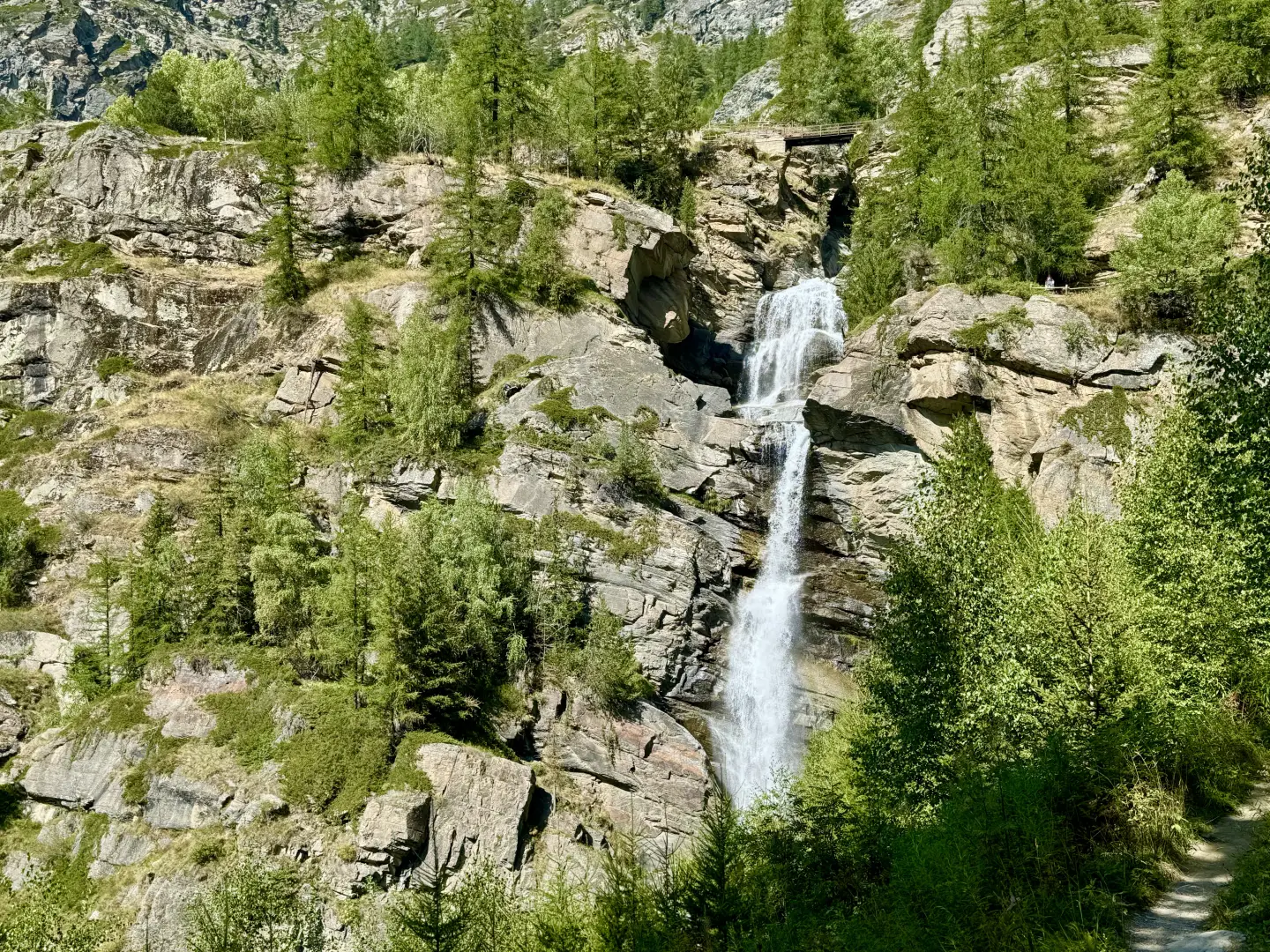
The circular walk to the Lillaz waterfalls, in the municipality of Cogne, offers a picturesque stroll that allows you to see all the waterfalls of the Urtier stream up close, set amidst one of the most iconic landscapes in the Aosta Valley. The route, which can be walked anti-clockwise and is clearly signposted, follows easy paths, with steps and footbridges to facilitate access to the viewing points. The walk, which is also suitable for less experienced walkers, allows you to admire the ever-changing scenery of the waterfalls and the surrounding landscape in every season, without having to tackle any challenging climbs.

Description

0h00' 0.00 km 0 m 0 m 12 13L Walk up from the car park until you reach the bridge that takes you across the Urtier stream and into the village of Lillaz. Continue along Via Mines de Cogne until you reach a junction where several roads meet.

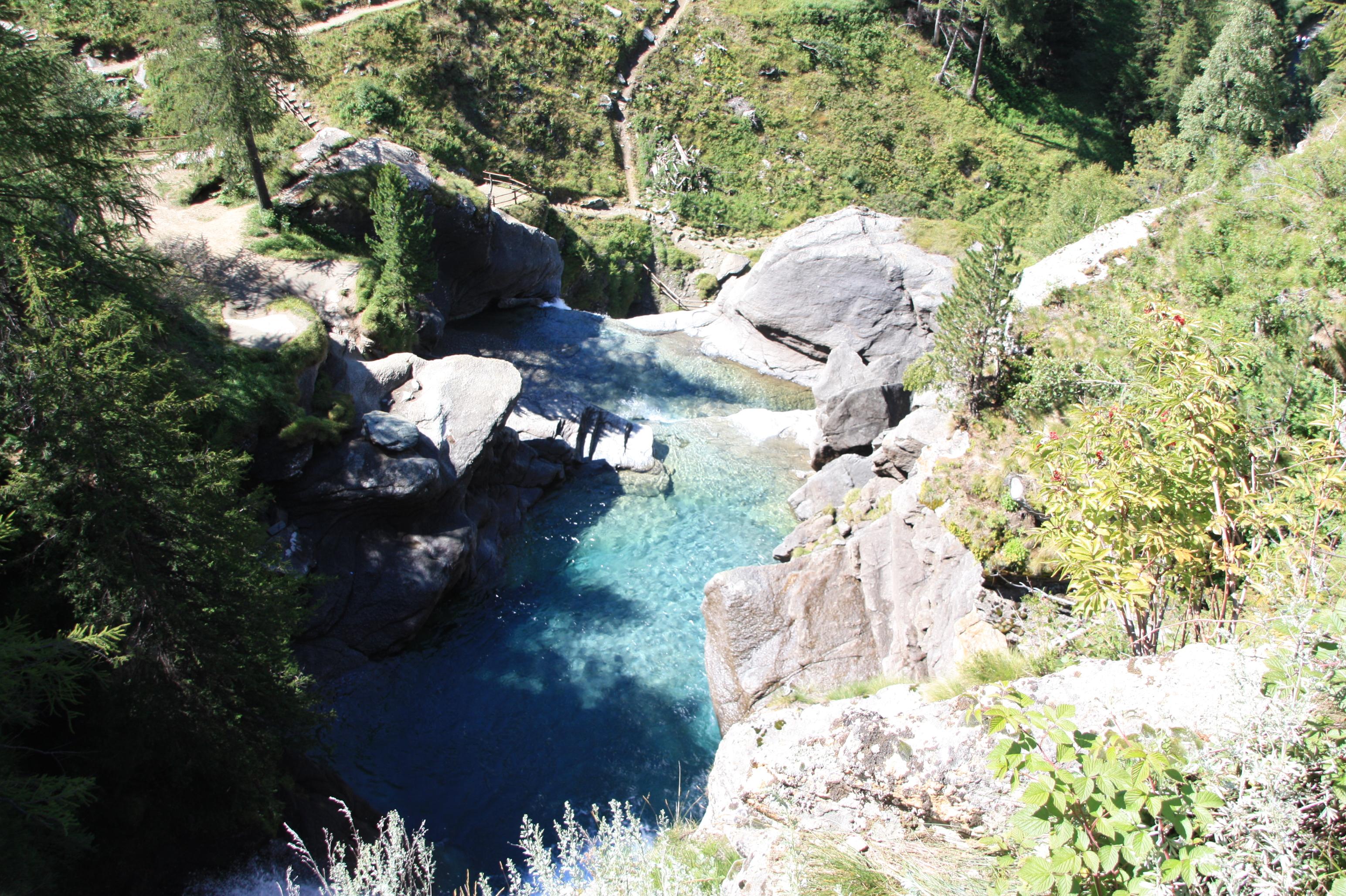
0h05' 0.25km 5m 0m 12 13L Keep to the left and continue along a narrow lane leading to a small square just before the entrance to the geological park. A signpost indicates the route to follow and, on the first section running alongside the Urtier stream, a number of information panels describe the glacial landscape. After a few minutes, you reach the base of the first waterfall, which is easily accessible and features a fascinating natural pool. Once past the area of the first waterfalls, the path climbs gently up wooden steps and footbridges, reaching the lower viewpoint in about 15 minutes: from here, you can see the central waterfall, where the waters plunge noisily between the rocks. Continuing uphill, the path leads to the upper viewing point (third cascade), the highest and most spectacular: crossing a small wooden bridge, you arrive at a vast rocky amphitheatre dominated by the force of the water. Here the path turns and continues briefly uphill to the upper plateau (approx. 1,750 m), a peaceful stretch where the Urtier stream slows to a gentle flow, offering an ideal spot to admire the view of the Cogne valley and the rich alpine flora. The descent follows the path that bends to the left and descends gently, passing through a cool woodland and gradually leading back towards the village, completing the loop with splendid views over the Cogne area. Walking anti-clockwise ensures a gradual ascent, followed by a comfortable descent along a wide path.


Places of interest

Collections

We have been there
Profile image

Edited by:

Sunday 16 June 2024

Cascate di Lillaz e alpe Bardoney da Cogne (AO)

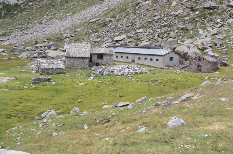
Quarta escursione vacanzifera. Le signore hanno deciso la sera prima: si sale all'alpe Bardoney, passando dalle cascate di Lillaz. Ci avviamo di buon'ora, cielo quasi sereno, e prendiamo in direzione degli impianti di risalita di Cogne, poi su fino allo spiazzo come ieri, per proseguire questa volta verso sinistra, seguendo l'indicazione "Sylvenoire". Ci ritroviamo su di un sentiero splendido che passa piccole radure allungate, una dopo l'altra, per rientrare poi nel bosco, quasi fino a Lillaz. Passata Lillaz imbocchiamo il sentiero che porta alle cascate, e iniziamo la scalata seguendo a caso una delle tante vie tracciate. Tanta gente che sale e che scende, fino alla testa della cascata. Qui la maggior parte delle persone fa l'anello, mentre noi continuiamo fino ad un casotto sul pianoro, per imboccare poi il sentiero che sale la seconda cascata sulla dx orografica fino a Q1820 circa. Passato il poggio, si apre il paradiso: una vallata splendida, completamente alberata, intima, che piรน avanti si apre in prati deliziosi per condurci fino a Goilles. Poco oltre troviamo il ponte che permette di passare il fiume, ed iniziare la salita verso l'alpe. Anche quii il sentiero รจ semplicemente splendido, costeggia grandi prati (penso una volta caricati), per rituffarsi nel bosco. Verso le 13:00 sosta pranzo, le signore per motivi vari decidono di rientratre direttamente, ma mi danno il via libera per salire da solo. Parto alle 13:300, e poco dopo il sentiero spiana verso Q2100 in un bellissimo paesaggio alpestre, per condurmi a piccoli gradoni fino al bivio Bardoney - Lac Loie. Visito Bardoney, mezza idea di continuare fino al lago e scendere da li, poi la memoria della pendenza di discesa da quella parte prevale, e decido per il rientro dalla via di salita. Alle 14:30 parto dal bivio, e volo il sentiero. In un'oretta sono al ponte, poi overdrive nella valle, e discesa finale su Lillaz, dove arrivo alle 16:00. Pier, Danila e Rita mi stanno attendendo per la merendina, complice il caldo mi slappo un ben gelato! Alle 16:45 prendiamo la via del rientro ripassando per Sylvenoire, molto piรน bella che lungo la forestale che costeggia il fiume e che avevamo fatto martedi. Gita splendida, di quelle da rifare assolutamente, magari completando l'anello al lago. Descrizione completa dell'escursione con mappa, foto e testo.
Comments (0)

New comment added!

Sign in to leave a comment

No comments yet. Be the first to comment!
Login to post